City Master Plans
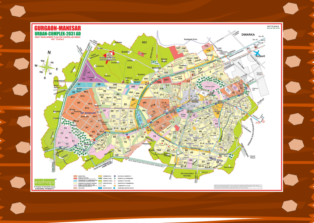
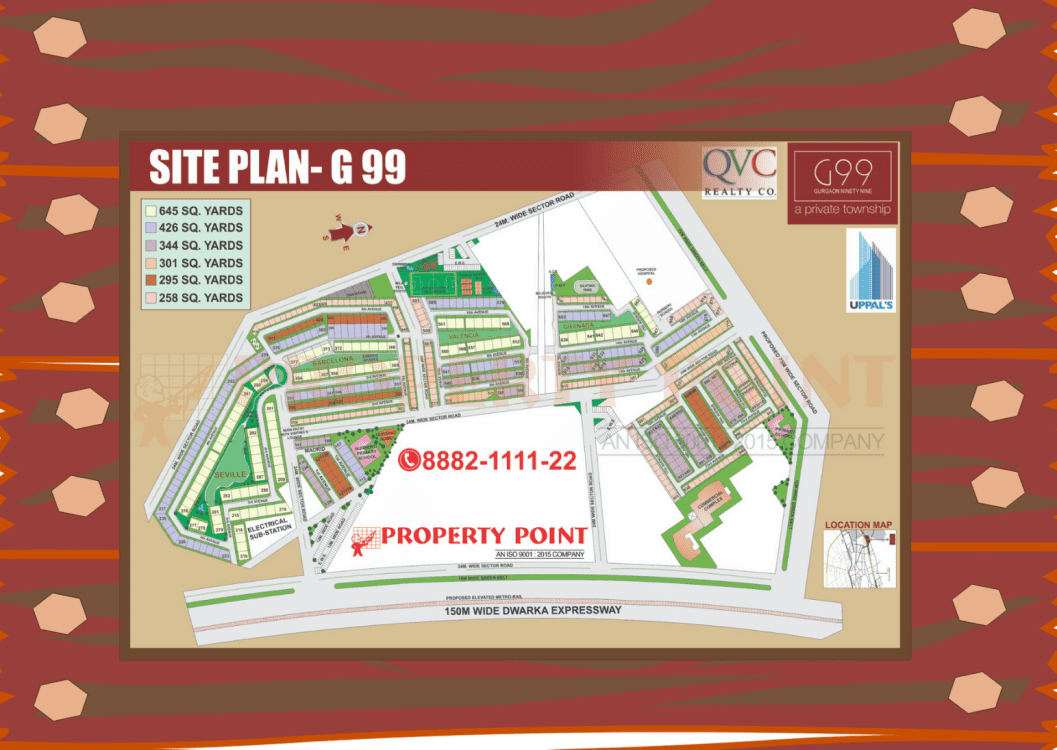
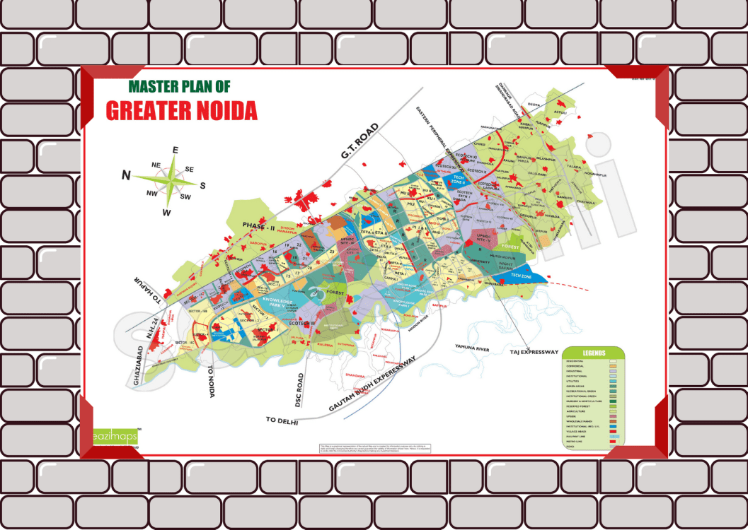
These are large-scale planned city layout drafted by the designated government authority. City Master plans provide an overview of the entire city in a simplified manner highlighting its sector, area or colony demarcation, industrial, commercial and residential zones, green belts, highways, roads and list of builders spanning the entire stretch of the city.
Our City Master Plans empowers developers and real estate personnel to analyse and strategies their business planning effortlessly.
City Master Plans are available in multiple sizes and formats – Standard Maps, Table Maps and Wall Maps.


